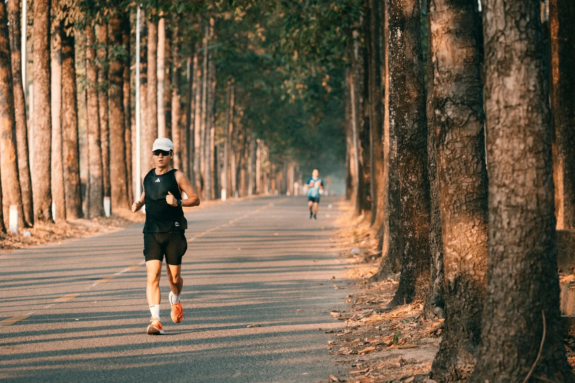
Photo by 🇻🇳🇻🇳Nguyễn Tiến Thịnh 🇻🇳🇻🇳 on Pexels
You’ve run the same 5k loop around your block so many times you could do it with your eyes shut. Which is sort of the problem — your brain has done it with your eyes shut, metaphorically speaking, for months. You know every pothole, every dog that barks at the same gate, every traffic light that never seems to turn green when you want it to. It’s not that the route is bad. It’s that you’ve outgrown it, or it’s outgrown you, and now every run feels like admin rather than something you look forward to.
This happens to almost everyone who runs regularly. You start with whatever’s outside your front door because that’s the path of least resistance, and then you just… stay there. Nobody tells you that finding good running routes is actually a skill, not a stroke of luck. It takes a bit of looking, a bit of trial and error, and knowing which tools actually help versus which ones just give you more tabs to close.
This isn’t about finding “the best route in your city” — there usually isn’t one single answer. It’s about building a small rotation of 4–6 routes that match different needs: a flat one for speed sessions, a hilly one for strength, a quiet one for recovery jogs, a scenic one for when you need a mental reset. Here’s how to actually find them.
Start with what you can see from your own door
Before opening any app, walk or drive a 10-minute radius around your house and actually look. Most runners dramatically underestimate how much is nearby because they’ve only ever driven past it at 40mph. Look for:
- Canal paths, river paths, disused railway lines (these are often flat, car-free, and connect further than you’d expect)
- School playing fields or university campuses — often open to the public outside school hours, and useful for loops if you’re nervous about distance from home
- Cemeteries and crematorium grounds — genuinely some of the quietest, most reliably flat running surfaces in urban areas, and nobody tells you this because it sounds a bit odd
- Industrial estates on a Sunday morning — deserted, well-lit, flat, boring enough that you won’t get distracted and overcook your pace
This is a slower method than opening Strava, but it tells you things an app won’t: whether the pavement is actually runnable, whether a path floods after rain, whether the “scenic route” smells like a sewage works at 7am.
Use the apps properly — not just for logging
Most runners use Strava purely to record runs and never touch its route-finding features. That’s a waste, because the Strava Global Heatmap (free, in the app under Explore) shows you literally where other runners go, overlaid as a brightness map. Bright orange lines mean lots of runners use that path — which usually means it’s safe, well-maintained, and well-lit. Dark patches mean either nobody runs there or it’s not worth running there. It’s one of the fastest ways to find routes you’d never have spotted from street view alone.
Other tools worth knowing:
- Komoot — better for longer routes and trail running, lets you plan point-to-point rather than just loops
- Google Maps’ “walking” directions — a decent rough guide for path existence, though it won’t tell you about surface quality or safety
- MapMyRun / Plotaroute — good for building and saving a precise loop of an exact distance (useful when you need exactly 8km, not “about 8km”)
- Local Facebook running groups or parkrun community pages — genuinely underrated. People post “watch out, the towpath is closed near the bridge” days before Google catches up
If you’re building toward a specific race distance and want routes that double as structured sessions, it’s worth cross-referencing your route options against what your 10K training plan for intermediate runners or similar plan actually asks of you — a tempo run needs a different route to an easy jog.
Match the route to the run, not the other way around
This is the bit most people skip. You don’t need one perfect route — you need a small set that fits different training purposes.
| Run type | What you need from the route | Example |
|---|---|---|
| Easy/recovery run | Flat, familiar, minimal traffic stops | Canal path, park loop |
| Tempo/threshold run | Flat, long uninterrupted stretch, no junctions | Disused railway line, riverside path |
| Hill reps | A consistent gradient, 200–400m long | A known local hill, repeated |
| Long run | Varied terrain, water fountains or shops en route, loop or out-and-back | Linked parks, countryside lanes |
| Speed/interval session | Track if possible, otherwise flat and quiet | School field, athletics track |
If your current rotation is just one loop doing double duty for all five of these, that’s often why progress stalls — your tempo runs keep getting interrupted by traffic lights, or your “easy” run has a hill in it that spikes your heart rate without you meaning it to.
Think about safety, not just scenery
A pretty route that doesn’t feel safe isn’t a good route — you’ll either avoid it or run it with low-level anxiety the whole time, which defeats half the point of running. A few concrete checks:
- Run any new route in daylight first, even if you plan to eventually run it early morning or evening
- Check it has phone signal — dead zones matter if something goes wrong
- Avoid routes that are only accessible by one narrow path with no exit points; you want options if you need to cut a run short
- If running solo in low light, prioritise lit routes over scenic ones — simple but often ignored
The NHS gives sensible general guidance on running safely outdoors, including visibility and traffic awareness, which is worth a look if you’re building a new regular route from scratch (NHS: get active your way).
Ask people who already run there
This sounds obvious but gets skipped constantly. Local run shops almost always know the best loops — they’ve had thousands of conversations with runners buying shoes for specific routes. parkrun volunteers and regulars know the area intimately because they’ve marshalled it in every weather condition. If there’s a run club nearby, their weekly routes have usually been refined over years by people who’ve already made the mistakes you’re about to make — the flooded underpass, the route that looks shorter on the map but has three sets of steps. Joining one, even occasionally, is one of the fastest ways to inherit a decade of local knowledge in one evening. If you’re not sure where to start, our guide to finding your running community covers how to find a club that actually fits your pace and schedule, not just the nearest one.
Build your rotation, then stop looking
Once you’ve got 4–6 routes that cover your needs — easy, tempo, hills, long run, maybe one “bad mood” scenic route for when you need a mental lift — stop hunting for new ones every week. Constantly route-shopping becomes its own form of procrastination. The goal isn’t an infinite catalogue of paths; it’s a small, reliable set you can default to without thinking, so the actual decision-making energy goes into the run itself, not the admin around it.
Revisit the rotation every few months, not every few days. Seasons change what works — a shaded woodland route that’s brilliant in July is a mud bath in January, and a canal path that’s beautiful in spring floods regularly in winter. Swap as needed, but don’t treat route-finding as a weekly hobby in its own right.
The Honest Takeaway
- Spend one weekend properly mapping your 10-minute radius on foot — most runners have more nearby options than they think, they just haven’t looked
- Use the Strava heatmap to spot routes other runners already trust; it’s a faster shortcut than guessing from Google Maps alone
- Build a rotation of 4–6 routes matched to specific run types (easy, tempo, hills, long, intervals) rather than running one loop for everything
- Check any new route in daylight first, confirm phone signal, and prioritise lit paths for early or late runs
- Ask at a local run club or running shop — their route knowledge usually beats any app, and it’s free
Next read: Finding your running community: clubs and groups guide